 Hydrographic Survey
 Land Survey
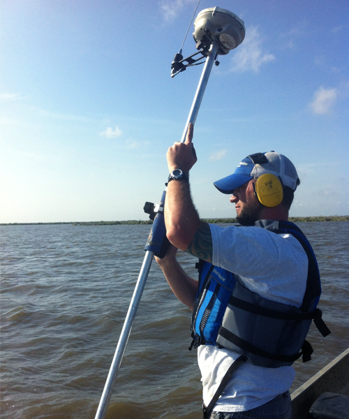
HydroTerra Technologies, LLC offers a wide range of hydrographic surveying and mapping services. Utilizing state-of-the-art software and data collection equipment we offer the following hydrographic surveying and mapping services:
- Dredge support surveys
- Bathymetric surveys (single and multi-beam)
- Mapping and charting
- Sonar imaging
- Site clearance and hazard surveys
- Magnetic, side scan sonar, sub-bottom, and remote sensing surveys
- Marine pipeline route surveys and stakeout
- Inland oil and gas well and facility site abandonment clearance surveys
- Remote sensing
- Marine GIS acquisition and development